Suncon Engineers Pune as Consultant for performing detailed Engineering survey, Fixing the alignment, Soil investigation, Preparing Detail horizontal & vertical design, Pavement design, also preparing necessary drawings, Detail estimate, DPR etc.
Project Details:
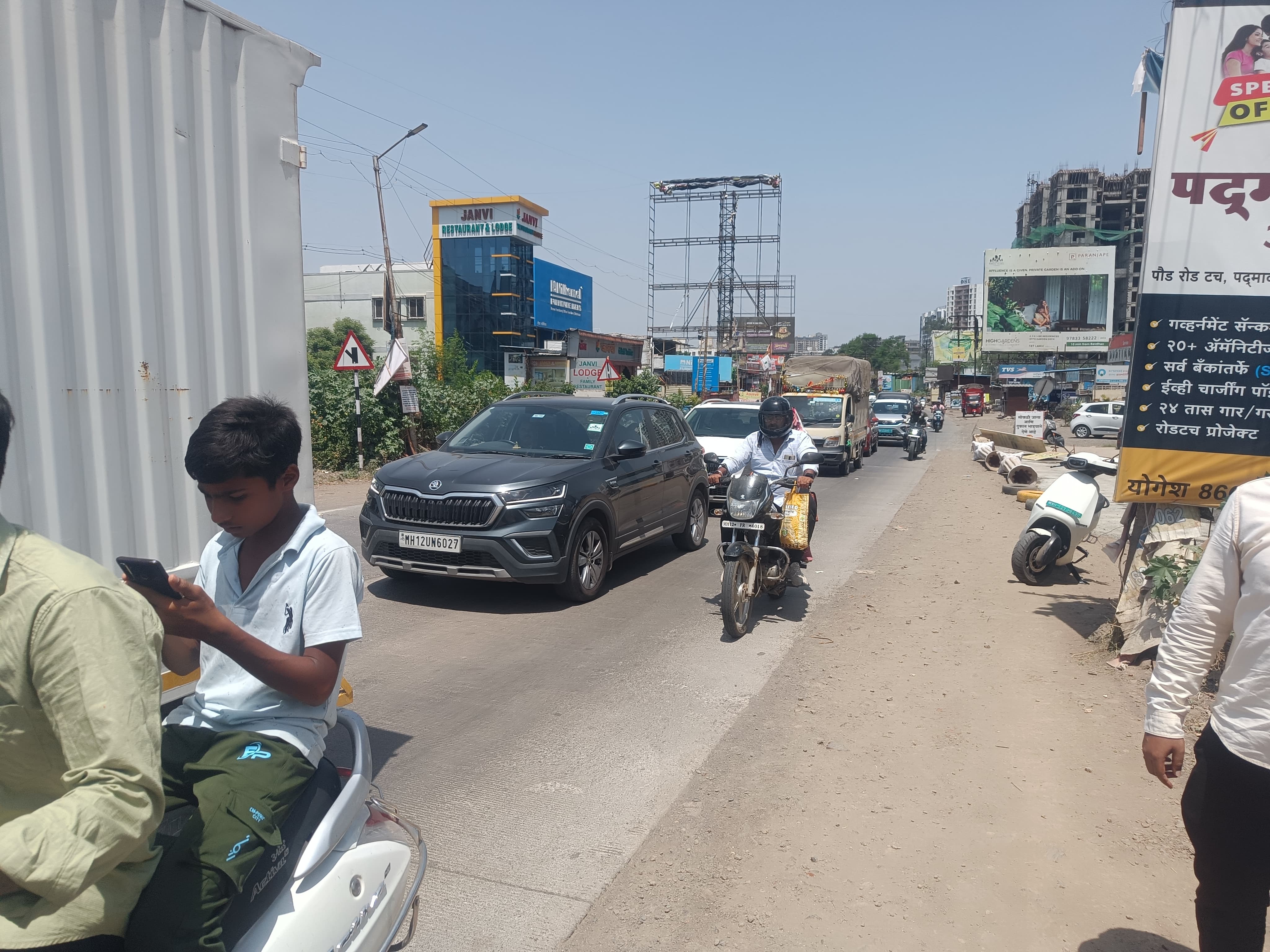
The Pune – Male section of NH-753F from km (4+250 to Km 4+500) passes through Bhugaon Village limits. This stretch experiences frequent traffic congestions every day. Existing road width is only 7 mtr. and there is no scope of widening, due to village old structure & temple. So it is needed to take up bypass as earlier as possible.
Traffic Congestion:
It is observed that Average Daily Traffic (ADT) is 74192 vehicles and Annual Average Traffic (AADT) is 75741 Vehicles. The Detail of Average Daily Traffic (ADT) is shown in Table No. 4.3 & Annual Average Traffic (AADT) is shown in Table No. 4.8. There is lot of local traffic and pedestrian movement along and across the road. It is observed that the maximum average speed is 20 km/hr. and minimum average speed is 10 km/hr. for total stretch of NH-753F passing through the city. The slowest speed is observed 8 km/hr. in this stretch, due to merging of junctions, bus stand and parked vehicles.
Engineering Survey:
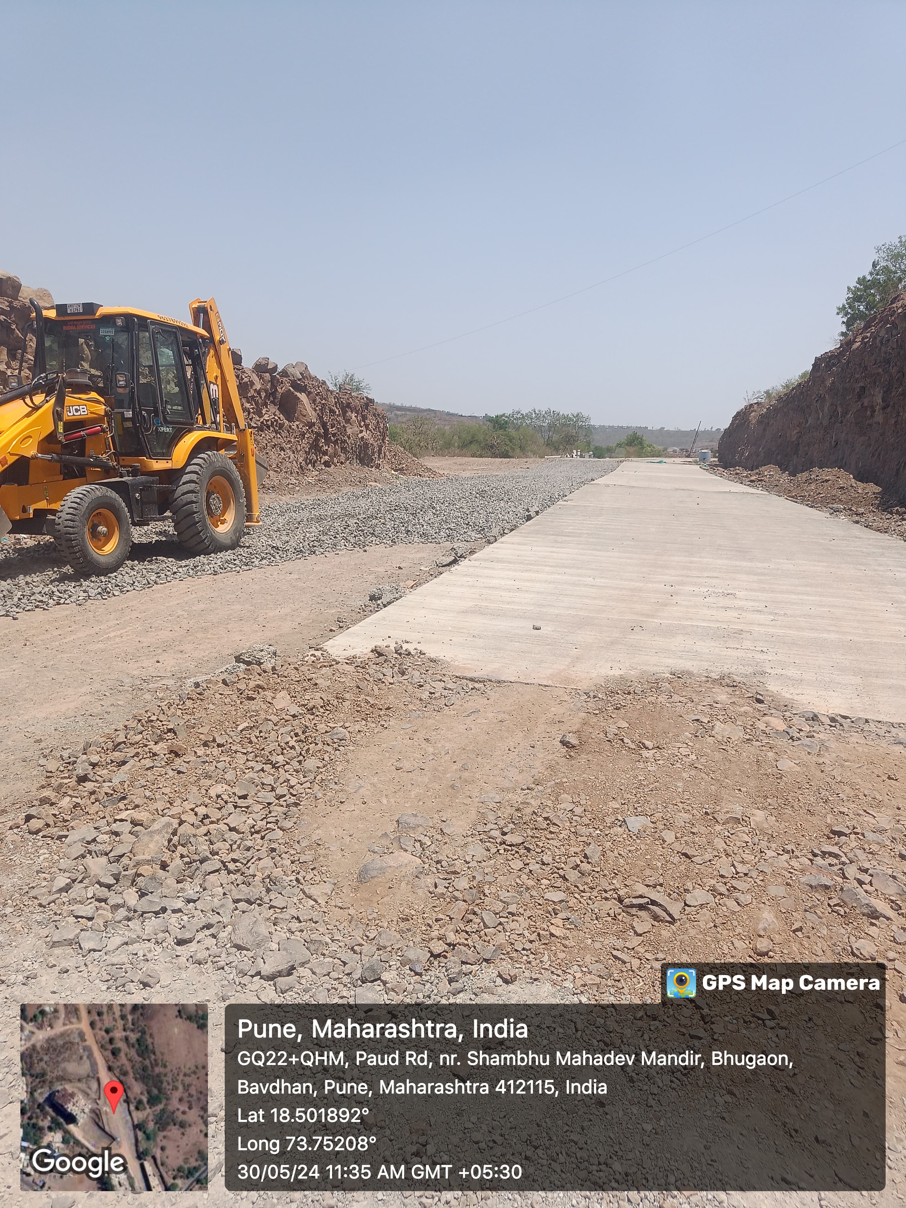
Various engineering surveys have been carried out for the proper planning & design for construction of Bhugaon Realignment Road (Ch. 0 to 862) on NH – 753F (Km 4+250 to 4+500 Km).
- Traffic Survey
- Reconnaissance Survey
- Topographical Survey
Topographical Surveys –
As first step of the field study, satellite imagery maps of the location were collected and examined thoroughly to have firsthand information about the area and to decide on the possible improvement options. We have studied one alternative sites for bypass & accordingly as per approved alignment topographical survey has been carried out. The basic objective of the topographic survey was to collect the essential ground features of the proposed junction using Total Station to develop a Digital Terrain Model (DTM), to take care of design requirements of Bypass road. The data collected will result in the final design and is also used for the computation of earthwork and other quantities required.
- Features of Topographical Survey: Topographical survey using Total Station & DGPS has been carried out to collect sufficient data to prepare the map of the physical features of the area. GTS benchmark is connected before starting the survey work.
Following existing features have been captured during the survey:
- Existing small village road, LT / HT line etc.
- Existing temporary Structures.
Topographical survey was carried out using Total Station & DGPS of 3 sec. accuracy for detailed mapping and traversing. As part of the survey, the following activities were carried out.
- Cross Sections: Cross sections have been taken for a minimum width of 10 m from the centerline of the proposed alignment through longitudinal section point on either side of road. Cross section levels were taken at every 2 m.
- Longitudinal Section: Longitudinal Section levels along the centerline were taken at 40 m. interval. Near curves and important features this interval was suitably reduced. Cross sections point for the required width was taken corresponding to each point in the longitudinal section.
- Map Plotting: The existing features surveyed were directly feed into Computer Aided Software and the details of the same have been plotted.
Establishment of Temporary Bench Mark (TBM): –
The length of proposed Bhugaon realignment road is around 862 mtr. It was necessary to establish TBM along the proposed alignment of road. The following TBM’s are established along the alignment of proposed road.
Design Standards:
As this is Bypass of National highway relevant IRC design standards with due consideration to the latest directive and guidelines of MOSRTH/IRC were followed.
Following IRC / IS Codes are followed in the design.
- IRC SP: 19 – 2001 Survey Investigation and Preparation of Road Projects
- IRC: 52 – 2001 Recommendations about the Alignment survey and Geometric design of Hill Roads.
- IRC:58 – 2015 Guidelines for the Design of Plain Jointed Rigid Pavement for Highways.
- IRC SP: 38 – 1988 Guidelines for design of Horizontal curves
- IRC SP: 23 – 1993 Vertical curves for Highways
- IRC: 102 – 1988 Traffic studies for planning bypasses around towns
- IRC SP: 13 – 1998 Guidelines for the design of Small Bridges and Culverts
- IRC SP: 37 – 2018 Guidelines for the design of Flexible pavements
- IRC: 78 – 2000 Standard specifications and code of practice for Road Bridges
- IRC: 54 – 1974 Lateral and vertical clearance at underpasses for vehicular traffic
- IRC: 32 – 1969 Vertical and Horizontal Clearance
- IRC Publication – Standard drawings for box cell culverts
- IRC: 8 – 1980 Type designs for highway kilometer stones
- IRS: SP 84 – 2019 Four lanning of Highways through Public Private Partnership
- IS: 456 – 2000 Plain & Reinforced Concrete
- IS: 1786 – 2008 High strength deformed Steel Bars
Pavement Investigation:
- It is proposed 14.0 m. divided carriage way with 1.5 m. wide median with 1 m. Built-up Gutter on either side on Bhugaon realignment road.
Bridges and Structures:
- Proposed alignment passes through hilly terrain. Horizontal and vertical curve at required places has been provided as per IRC specifications.
- Box culverts is proposed at Ch. 680 mtr. Having size 6.0 X 3.0 m.
- The level junction are proposed at Km. 4+250 & 4+500 Km.