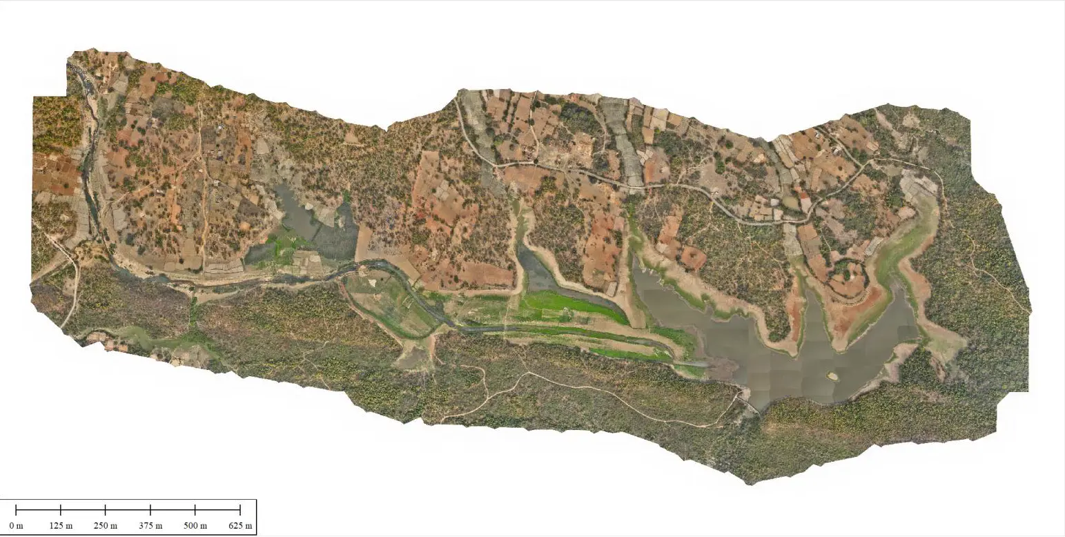
SEPL was mobilized in house Survey team, Equipment, and Survey Boat “Inflatable Boat” which was deployed in the Ghaghra Dam to acquire Bathymetric Survey data and Topographic data as per mutually agreed scope and relevant survey specifications. Trimble DGPS system, and Hydrobox Echo Sounder (215 kHz) were utilized to acquire the bathymetric data within the Ghaghra dam area. A value of 1500 m/s was used as the average velocity of sound in water, which was applied in the setup during acquisition. The data so obtained was then processed and contouring was done using E-Survey software. Trimble RTK, Tripod, DJI L2 Lidar Drone were used for topographic survey in the Dry area.
Topographic and bathymetric data was reduced to Mean Sea Level (MSL). All the data is plotted on a scale of 1:1000 for Ghaghra dam.
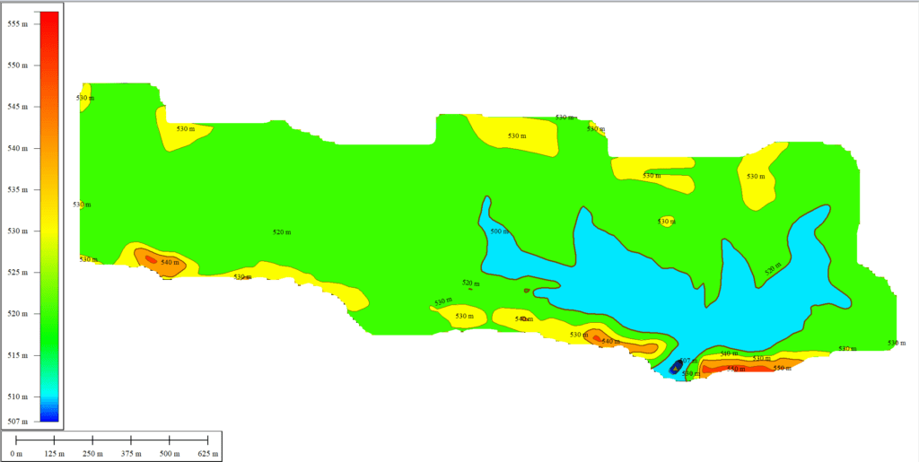
Details of Project Scope
1. To measure the water depth of the Ghaghra Dam with respect to MSL.
2. Line spacing shall be 10 m with continuous echo sounding.
3. The reservoir for water level changes during the survey shall be tabulated.
4. Data processing using EIVA software.
5. Topographic survey shall be conducted from FRL/MWL to water level with reasonable overlap with hydrographic survey.
6. The area not covered under the Hydrographic survey up to Maximum Water Level (MWL) shall be surveyed by Drone Lidar taking levels at 5m. intervals (5m. x 5m. grid).
7. To carry out the data processing and interpretation of data and preparing of results, charts, drawings and report.
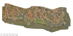
Geo tiff.image
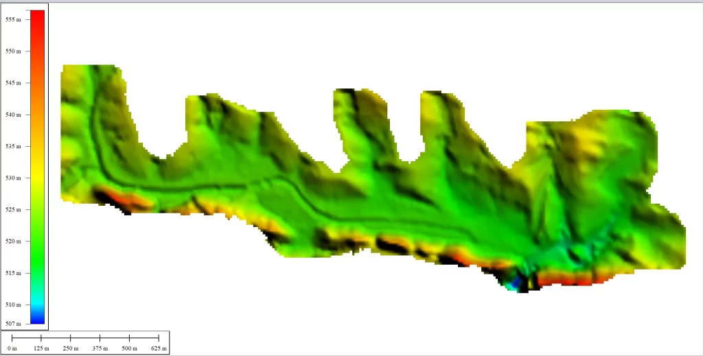
Eartho Image
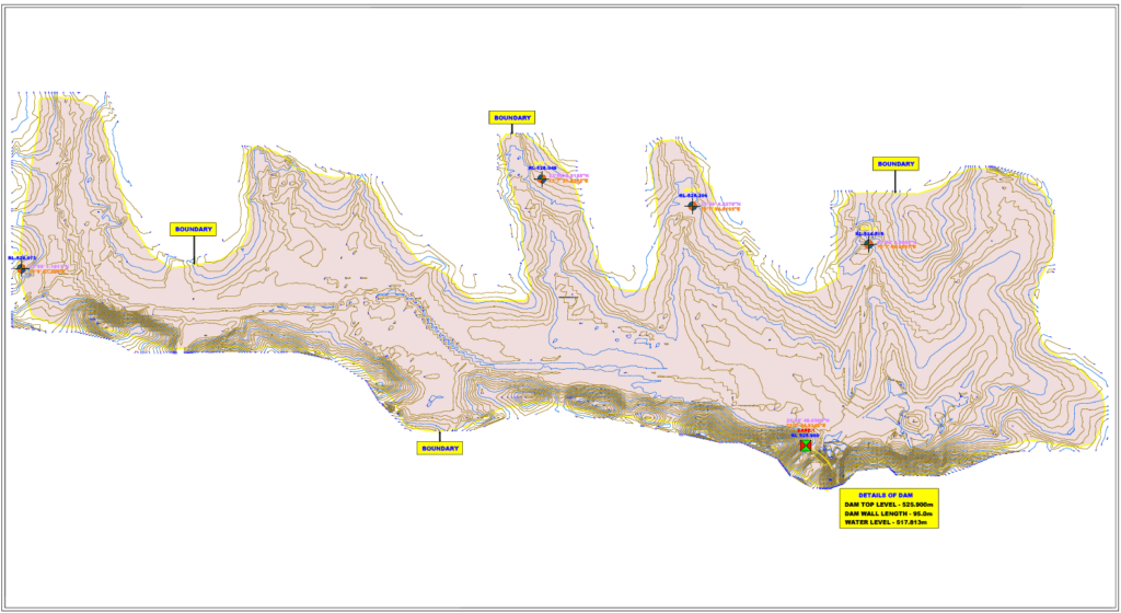
Objective
The client’s objectives were:
a) Bathymetry survey of the water portion of the dam.
b) Topographical survey using LIDAR drone of the submergence area (Dry portion).
c) DGPS survey for fixation GCP.
d) Preparation DEM, Ortho Mosaic file.
e) To develop a contour map of the bed level of the reservoir.