As-Built Survey Company in India
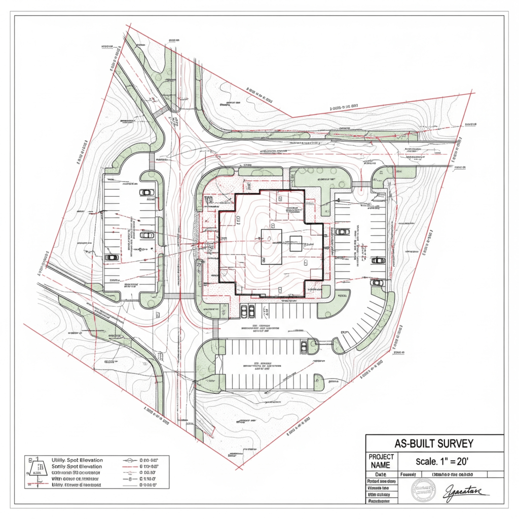
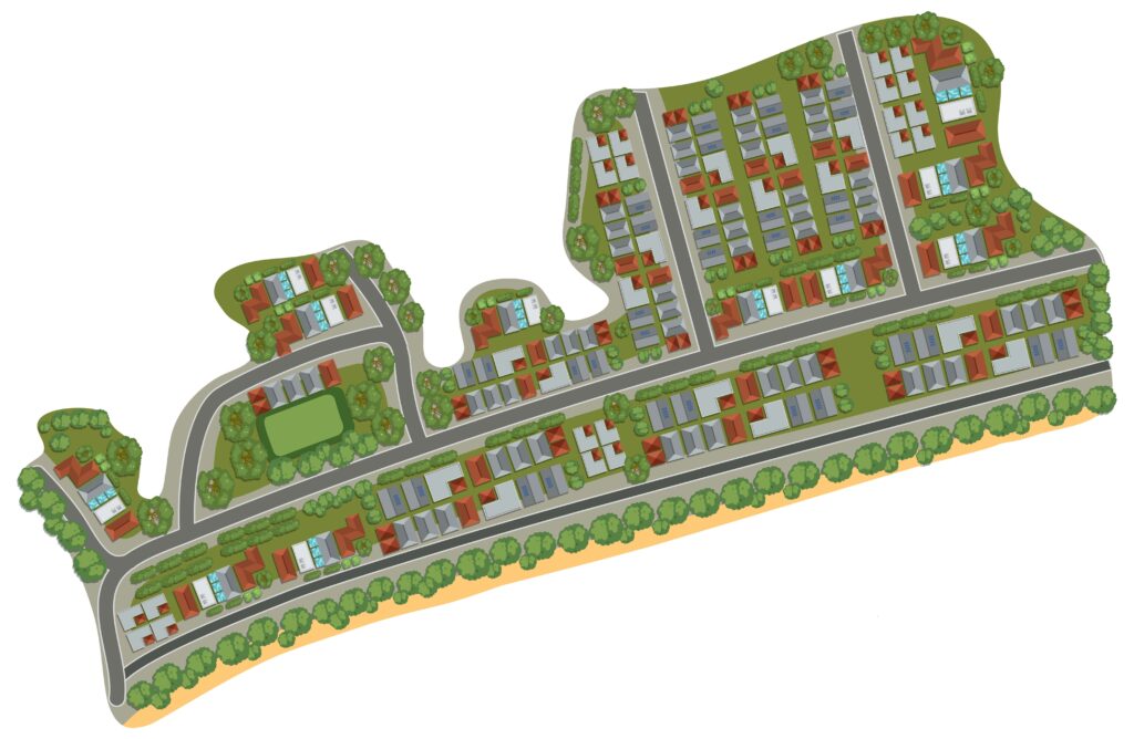
What is an as-built survey? An as-built survey is a detailed documentation of a project’s final, constructed conditions. Unlike initial […]
What is an as-built survey? An as-built survey is a detailed documentation of a project’s final, constructed conditions. Unlike initial […]

A transmission line survey is the most crucial stage before the construction of high-voltage power lines. The survey ensures that
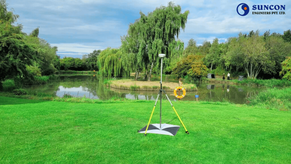
Surveying is the backbone of modern engineering, construction, and infrastructure development. From roads and bridges to buildings and utilities, every

Bathymetric surveys help us understand underwater terrain by measuring the depth and shape of riverbeds, lakes, reservoirs, and coastal zones.

UAV survey fast-paced, data-driven world, businesses operating in sectors like construction, mining, agriculture, infrastructure, and energy are under increasing pressure

A GPR survey or Ground probing radar survey involves using high-frequency radar waves to detect and visualize subsurface structures without

Engineering is the foundation of modern development, from towering skyscrapers to energy-efficient power systems and smart transportation networks, every successful

Traffic survey is a fundamental tool for urban transportation planning, road infrastructure design, and mobility management. In order to understand

Drone land surveying is one of the biggest developments in the geospatial sector. It is changing how experts in mining,

Underwater survey of rivers, lakes, reservoirs, and coastal areas hide important information below the surface. This hidden world is crucial

The mining industry is undergoing a technological transformation, and at the center of this change is the Mining Drone Survey.
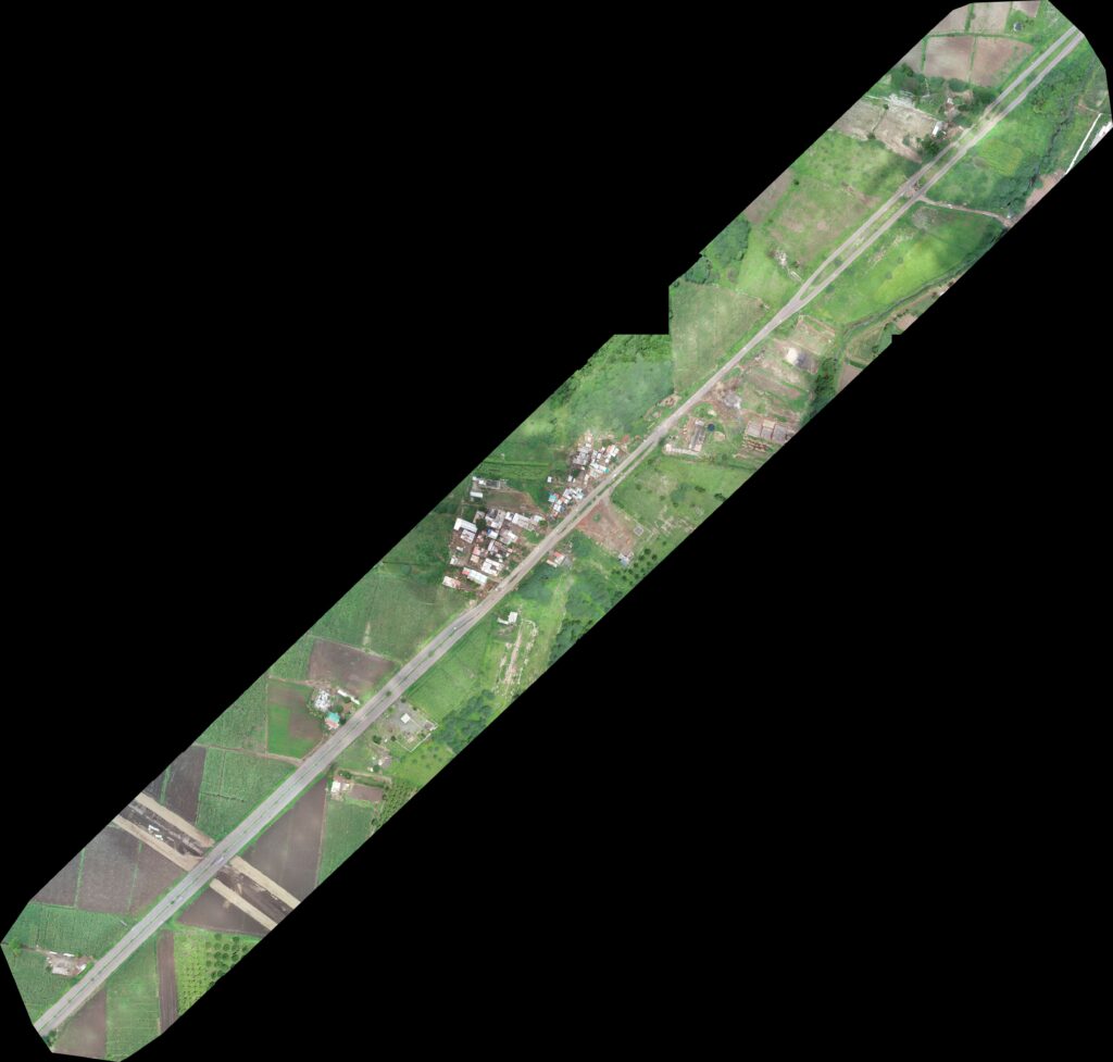
Aerial drone survey is a modern method of collecting land data using drones, also known as unmanned aerial vehicles (UAVs).
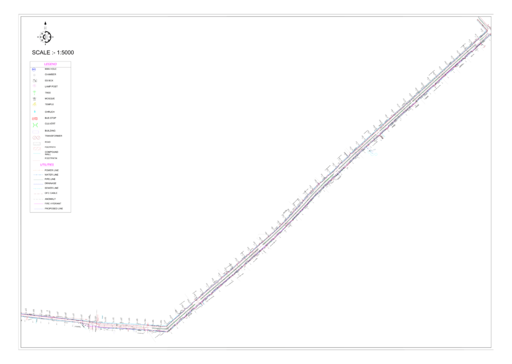
Introduction Before starting any construction or infrastructure development, knowing what lies beneath the surface is essential. An Underground Utility Survey

BIM services refer to the creation, management, and use of digital representations of physical and functional characteristics of a facility.
A Cadastral or Boundary Survey is a precise, legally governed method of mapping and documenting land parcel boundaries. It plays