- Home
- Surveying and Mapping
Surveying and Mapping

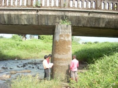
To achieve higher standards of Structural Designs and Project Management Consultancy Report parameters, it’s always necessary to enhance the quality of Land Surveys and Soil Investigation methods which are basic needs of any Project Management Consultancy in India. For every infrastructure construction project, carrying out a survey of the proposed site and furnishing the detailed engineering report is a very much essential task.
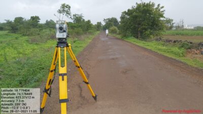
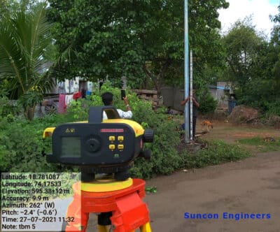
Suncon Engineers uses all the latest technologies and equipment for the purpose of land survey and mapping to ensure high quality is maintained in work. Technology has helped Suncon Engineers to grow and bag elite clients. To know more about our survey & mapping work, refer projectssection.
Our Purpose Is Building A Better Working World.
Suncon Engineers works with a mission and purpose of building a better working world by delivering exceptional client service that helps in improving and building a sustainable and profound environment.

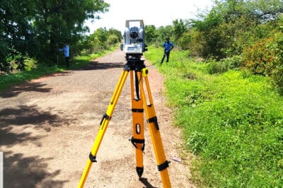
- Topographical Surveys
- Engineering Surveys
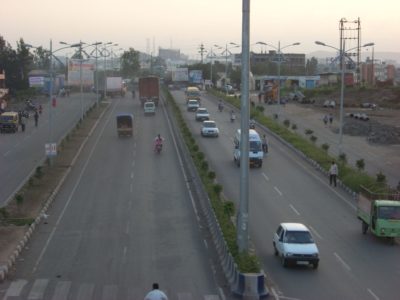
- Road, Railways, Pipeline, Rope way Alignment Surveys
- L-Section & Cross-Section Surveys
- Construction Surveys
- Plane Table Survey
- Hydro graphic Surveys
- Storm Water Drainage Surveys
- Grid Surveys
- Detailed Town Planning Surveys
- Digital Mapping
- Cad astral Surveys
- Transmission Line Surveys
- Survey & Infrastructure Mapping
- Auto Cad Drawing
- Digitization
- Survey & Design Drawings